Regional Science Center Dehradun
Himalaya Gallery
A unique geologic marvel with a wonderful and diverse nature
Of all the dramatic and visible creations of plate-tectonic forces, the lofty Himalayas, globally the highest and youngest mountain range stretching across 2900 Km west to east, ascending 8800 m along the border between India and Tibet, is a unique geologic marvel with a wonderful and diverse nature. This vast Himalayan region is a store house of world’s third largest water reserve in the form of glacial ice, source of seven major rivers, unique biodiversity, shelter for indigenous people, traditional knowledge and age old religious and cultural heritage. The bountiful nature and gigantic peaks of Himalayas lure the people to explore and experience.
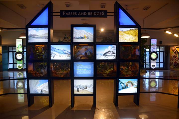
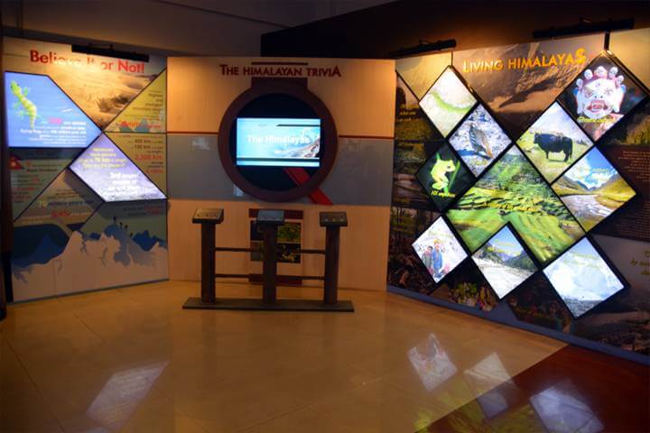
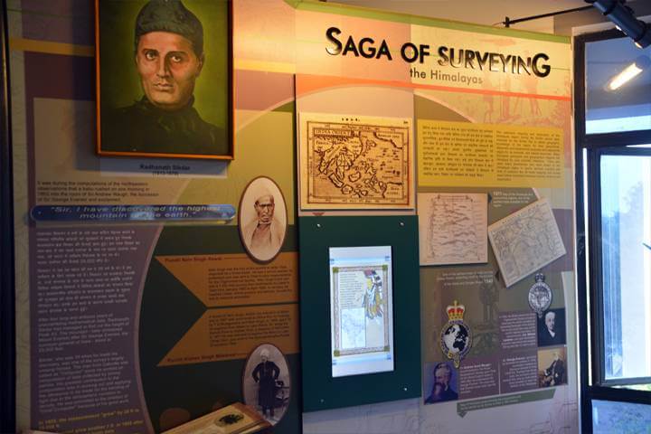
Aspects of Himalayas are portrayed in the Gallery- ‘The Himalayas’, through interactive exhibits, digital medium, stunning images which reveals untold stories of the Himalayas. The gallery is reverentially dedicated to the memory of the great Indian Surveyor Radhanath Sikdar, who calculated the height of the Peak XV-later christened as Mount Everest and showed it to be the tallest mountains in the world.
Exhibits at Himalaya Gallery
Highest Mountain Peaks
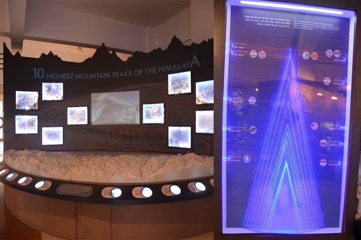
10 Peaks
Highest Mountain Peaks
| Peak Name | Height (metres) | Region |
| Mount Everest | 8848 | Nepal/Tibet (Autonomous Region, China |
| K2 | 8611 | Karakoram Range |
| Kanchenjunga | 8586 | India/Nepal |
| Nanda Devi | 7816 | India |
| Aconcagua | 6962 | Argentina |
| Mount Mckinley (Denali) | 6194 | United States of America |
| Mount Kilimanjaro | 5895 | Tanzania |
| Mount Elbrus | 5642 | Russia |
| Vison Massif | 4892 | Antarctica |
| Puncak Jaya | 4884 | Indonesia |
Amarnath Cave
Amarnath Cave Exhibition
Amarnath Cave
Situated in Jammu and Kashmir, the Amarnath Cave is a Hindu Shrine and is visited by lakhs of individuals consistently. It is situated at a height of 3,888 m. The Amarnath falls into the classes of the most celebrated Hindu Shrines. Lakhs and Thousands of devotees make a journey to the cavern during summers, while it is open, as they cross provoking mountain territories to reach the ice stalagmite shaped inside the cavern.
Biodiversity
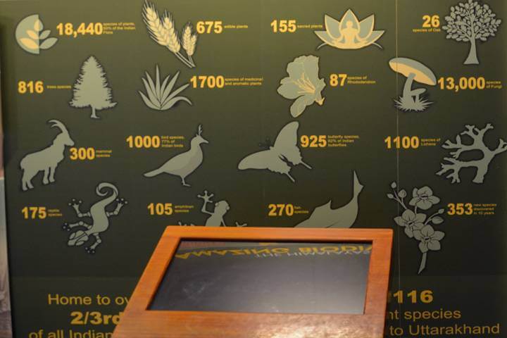
Amazing Himalayan Biodiversity
Biodiversity
The Himalayas mountain range is a conglomeration of topographical & climatological regimes, manifested in a remarkable assemblage of biodiversity.
Exhibit
Motion graphics on Threatened Biodiversity of the Himalayas. Visuals/Info Smart monitor, UPS
Uttarakhand Biodiversity
Diurnal Rotation
Uttarakhand Biodiversity
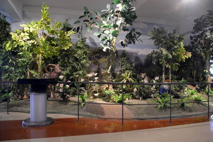
Exhibit on the biodiversity of the tropical, sub-tropical and alpine regions of the mountains show in an open diorama with interactive interpretation through digital browsing.
Exhibit
Forest of Himalayas : Diorama/visuals/information Flora & Fauna of Himalayas: Interactive kiosk to retrieve information on flora and fauna. Smart Touch monitor, camera, sound player, UPS, music box.
Everest
Diurnal Rotation
Everest
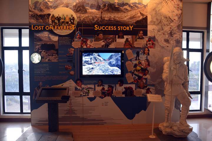
The story of the brave-hearts who overcame the challenges posed by the lofty mountains and conquered their majestic peaks.
Exhibit
Health hazard – Multimedia Disasters – storytelling Notable Himalayan mountaineers Statue of Tenzing Norgay Visuals/Info Computer, TV, Touch pad.
Frozen Himalayas
Alternate Mirrors
Frozen Himalayas
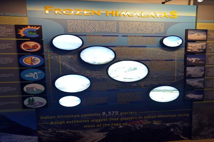
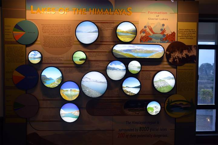
Exhibit on Himalayan glaciers, largest in the world outside the polar region and their shrinking with impact on the millions of people. It also shows the anatomy of a glacier.
Exhibit
Glacier Nomenclature – Interactive 3D Scaled model Glaciers of Himalaya Visuals/Info Computer Workstation, Depth Sense camera, Projectors, UPS.
Healing Herbs
Herbs in the Himalayas
Healing Herbs
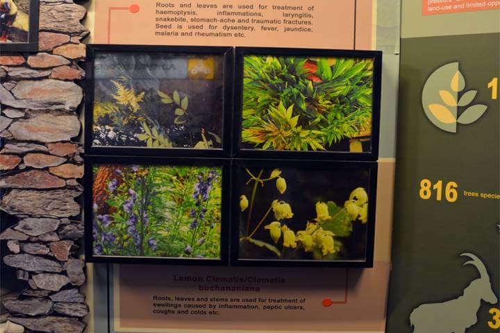
Exhibit on the traditional knowledge and practices which provide the basis for the well-being and livelihoods of the indigenous mountain communities, maintaining their health and replenishing the environment.
Exhibit
Traditional healing herbs- sample display.
Himalayan Physiography
Physiography Of The Himalyas
Himalayan Physiography
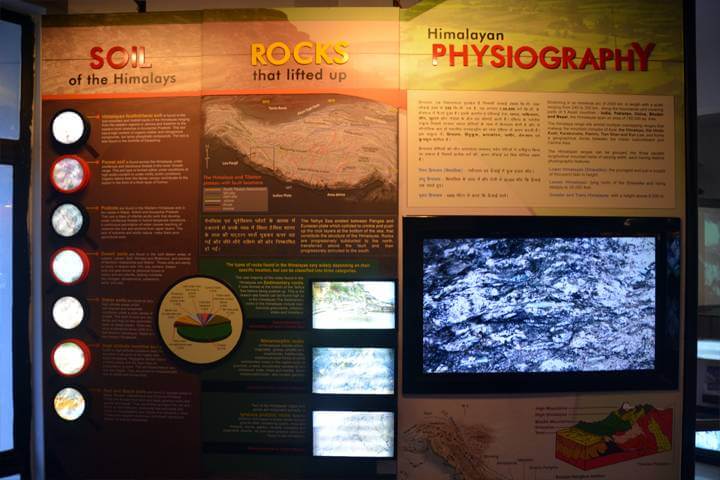
Exhibit depicts rocks and soils of the Himalayan region and its physiography. It tells the story of survey of the mountain range and contribution of Radhanath Sikdar and other Pundits- the indigenous surveyor.
Exhibit
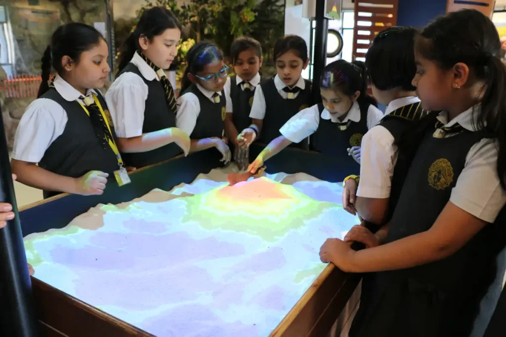
TV Rock & soil Physiography Saga of Survey of Himalaya (Visual, scroll & Info Panel) The Pundit Missions Album, Augmented Reality exhibit on landforms visuals/Info TVs, Media player, UPS.
Himalayan Rivers
Himalayan River Explorer
Himalayan Rivers
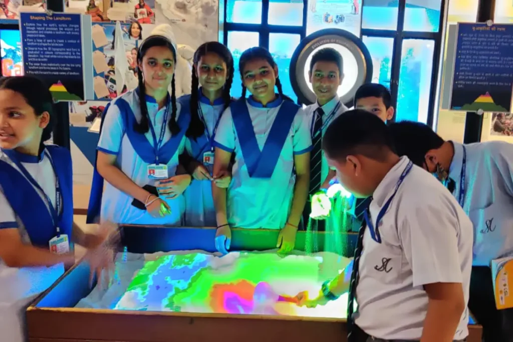
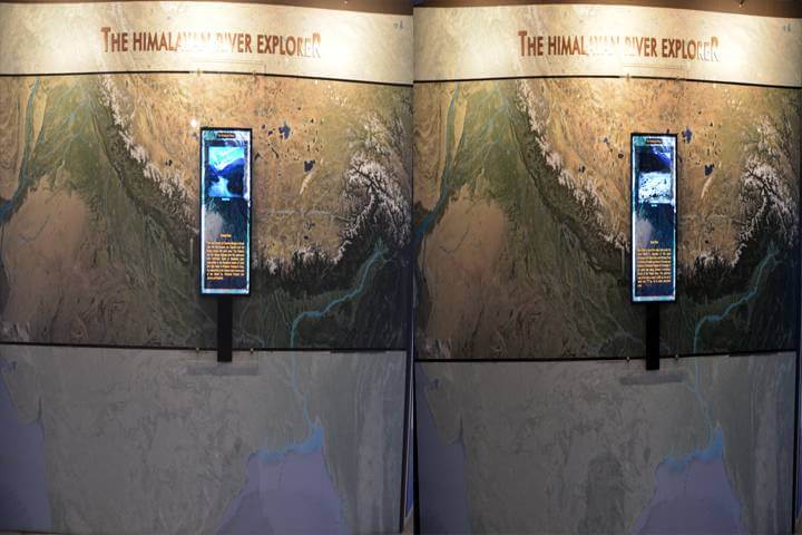
Exhibit shows the snow-fed and rain-fed, perennially beneficial and legendary rivers of the Himalayas. It also shows changing landform along the courses of the river through 3D simulation.
Exhibit
Interactive River Map (Visual Seeker) (TV, Computer) Riverbed simulations Visuals/Info.
Climate
Himalayan Climate
Climate
The Himalayas’s effect on the climate of the Indian subcontinent and the Tibetan plateau. It also forms a barrier for the monsoon winds causing heavy rainfall in the Terai region. An exhibit on the effects of climate change on the natural resource base of the fragile Himalayan ecosystem.
Exhibit
Visuals and information Visuals and information Large screen video on the topic Animated model on retreating glacier TV, Double diorama, UPS.
Khumbu Glacier
Himalayan River Explorer
Khumbu Glacier
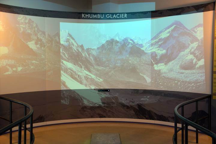
Exhibit on Himalayan glaciers, largest in the world outside the polar region and their shrinking with impact on the millions of people. It also shows the anatomy of a glacier.
Exhibit
Glacier Nomenclature – Interactive 3D Scaled model Glaciers of Himalaya Visuals/Info Computer Workstation, Depth Sense camera, Projectors, UPS.
Natural Calamities
Natural Calamities of Himalayas
Natural Calamities
The Himalayas’s effect on the climate of the Indian subcontinent and the Tibetan plateau. It also forms a barrier for the monsoon winds causing heavy rainfall in the Terai region. An exhibit on the effects of climate change on the natural resource base of the fragile Himalayan ecosystem.
Exhibit
Visuals and information Visuals and information Large screen video on the topic Animated model on retreating glacier TV, Double diorama, UPS.
Nanda Devi
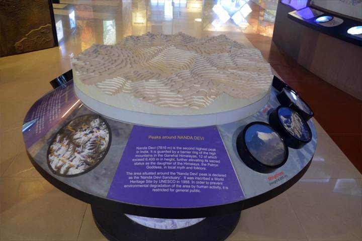
Nanda Devi Peaks
Nanda Devi
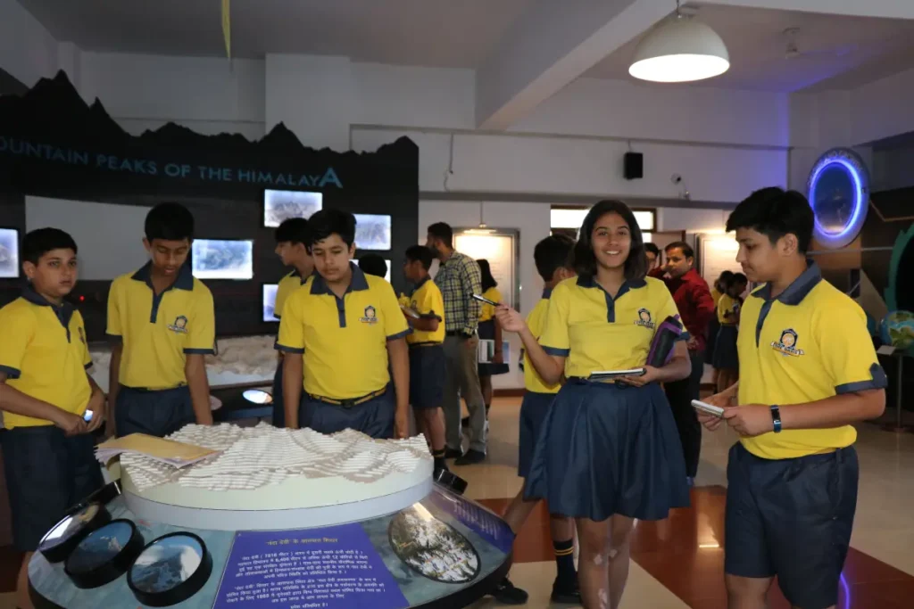
Exploration of the unique geology of the Himalayas, possessing 10 of the highest peaks in the world. It also shows the geological time line of formation of the Himalayas.
Exhibit
Geological Time Clock, Interactive topographic 3D scaled models of the Himalayan Mountain Range and Nandadevi region, Fossils of Himalaya (RFID based interactive multimedia), Smart touch monitor, UPS.
Sacred Himalayas
Home of the Gods
Sacred Himalayas
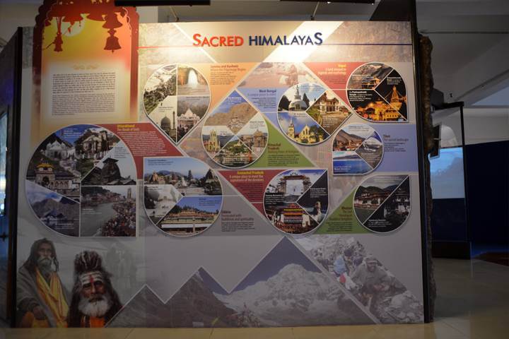
The Himalayas are something greater than merely the abode of snow. In popular culture, they are the home of the Gods. The exhibit shall highlight this mythical feature of the mountains.
Exhibit
Map Browser of pilgrims Scaled animated Amarnath Cave Temple Visuals/Info TV, Computer, UPS Compressor and refrigerating unit.
Surveying
Natural Calamities of Himalayas
Surveying
Exhibit depicts rocks and soils of the Himalayan region and its physiography. It tells the story of survey of the mountain range and contribution of Radhanath Sikdar and other Pundits- the indigenous surveyor.
Exhibit
TV Rock & soil Physiography Saga of Survey of Himalaya (Visual, scroll & Info Panel) The Pundit Missions Album, Augmented Reality exhibit on landforms visuals/Info TVs, Media player, UPS.
Knowledge
Traditional Knowledge
Knowledge
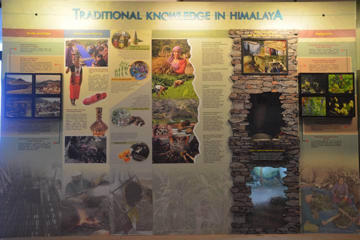
Exhibit on the traditional knowledge and practices which provide the basis for the well-being and livelihoods of the indigenous mountain communities, maintaining their health and replenishing the environment.
Exhibit
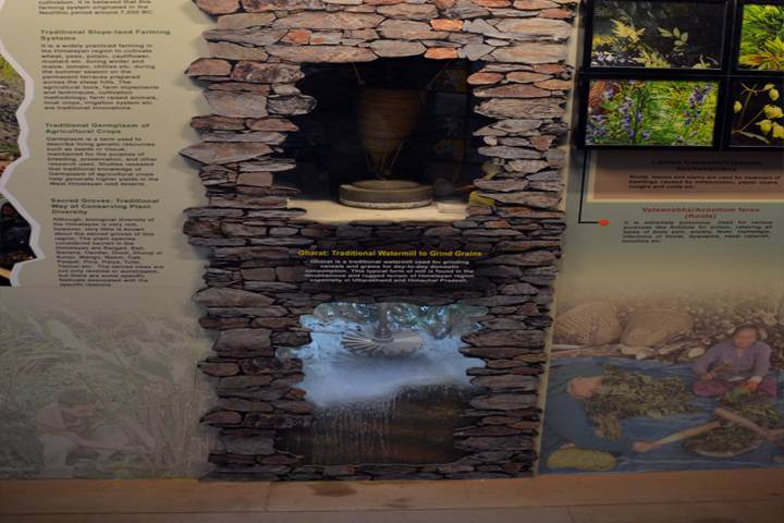
Traditional waterpower generation technique – 3D animated model/Diorama. Traditional water management technique. Traditional methods of agriculture and food processing. Making of houses and bridges, storage techniques – Scaled down models. Traditional healing herbs- sample display. Textile – weaving techniques. Metal forming. Visuals/Info.
Tourism
Uttarakhand Tourism
Tourism
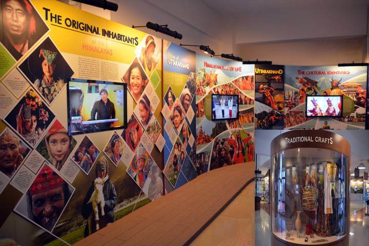
The section is about the varieties of opportunities for its tourist and tourism industry along with virtual tour for the visitors. Further visitor can explore various tourist spots in the Himalayas.
Exhibit
TV, Computer, Touch Pad, Camera, Projector, UPS, Visual panels, Projection screen, Computer workstation, Camera, Monitors.
Our Famous Explorers
Nain Singh

Nain Singh Rawat (1830–1882) was an Indian explorer and surveyor known for his remarkable contributions to the Great Trigonometric Survey of India during the 19th century. Born in the Johar Valley of Kumaon in present-day Uttarakhand, Nain Singh became one of the most renowned Indian explorers of his time.
Nain Singh’s significant achievements include his exploration of the uncharted territories of Tibet and Central Asia. He embarked on a series of perilous journeys, often undercover, to gather geographical and cartographic information for the British authorities. His ability to collect data with precision, even under challenging conditions, earned him recognition and respect.
One of Nain Singh’s most notable expeditions was his journey to Lhasa, the capital of Tibet, during 1865-1867. Disguised as a Tibetan trader, he meticulously measured distances, recorded geographical features, and gathered valuable information about the region. Nain Singh Rawat’s legacy endures as a pioneering figure in the history of exploration and cartography in the Indian subcontinent.
Radhanath Sikdar

Radhanath Sikdar (1813–1870) was an Indian mathematician and surveyor who played a crucial role in the measurement of the height of the world’s highest peak, Mount Everest. Born in Kolkata, Sikdar was largely self-taught and developed a keen interest in mathematics and surveying from an early age.
In 1852, Sir George Everest, the Surveyor General of India, initiated the Great Trigonometric Survey of India to accurately measure the heights of the Himalayan peaks. Radhanath Sikdar, who was working as a computer (assistant) in the survey, made a significant contribution to this ambitious project. Using trigonometry and geometry, Sikdar calculated the height of Peak XV, which would later be recognized as Mount Everest.
Radhanath Sikdar’s work laid the foundation for subsequent measurements of Mount Everest and significantly contributed to the understanding of the world’s highest mountain. His dedication to precision and mathematics has left a lasting impact on the field of surveying and the exploration of the Himalayas.

